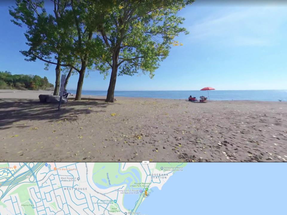
“As a pilot project in 2017-2018 AccessNow mapped over 90 km of trails and parks in Toronto. This included all 80 km of the Pan Am Path. 2017 work was completed using a customized all-terrain Icon wheelchair and a Google Trekker unit. 2018 work was completed using a GPS enabled 360 8K camera and a powerchair. The project was featured on Metro Morning, CBC News, in The Toronto Star, and on the front page of Metro News. In the two months since uploading 2018 data there has already been over 550 000 views by people navigating parks and trails.” From AccessPath.ca Report